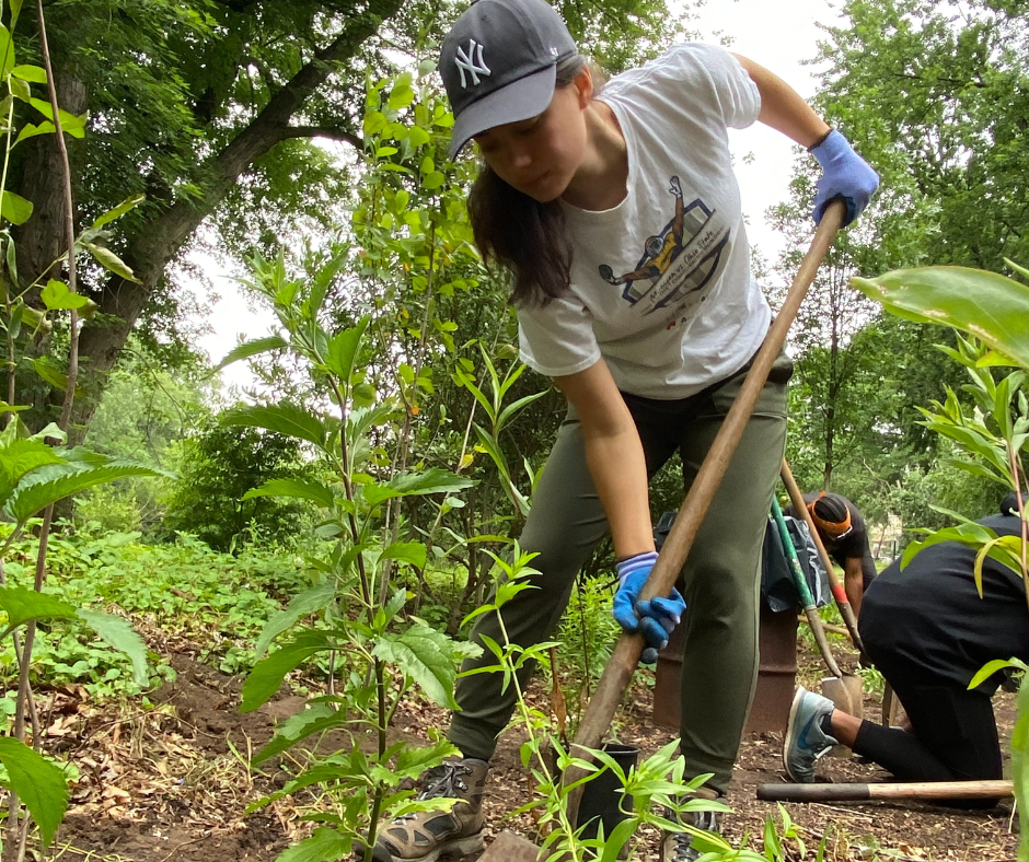
Education
Bronx River EELS Application Now Open!
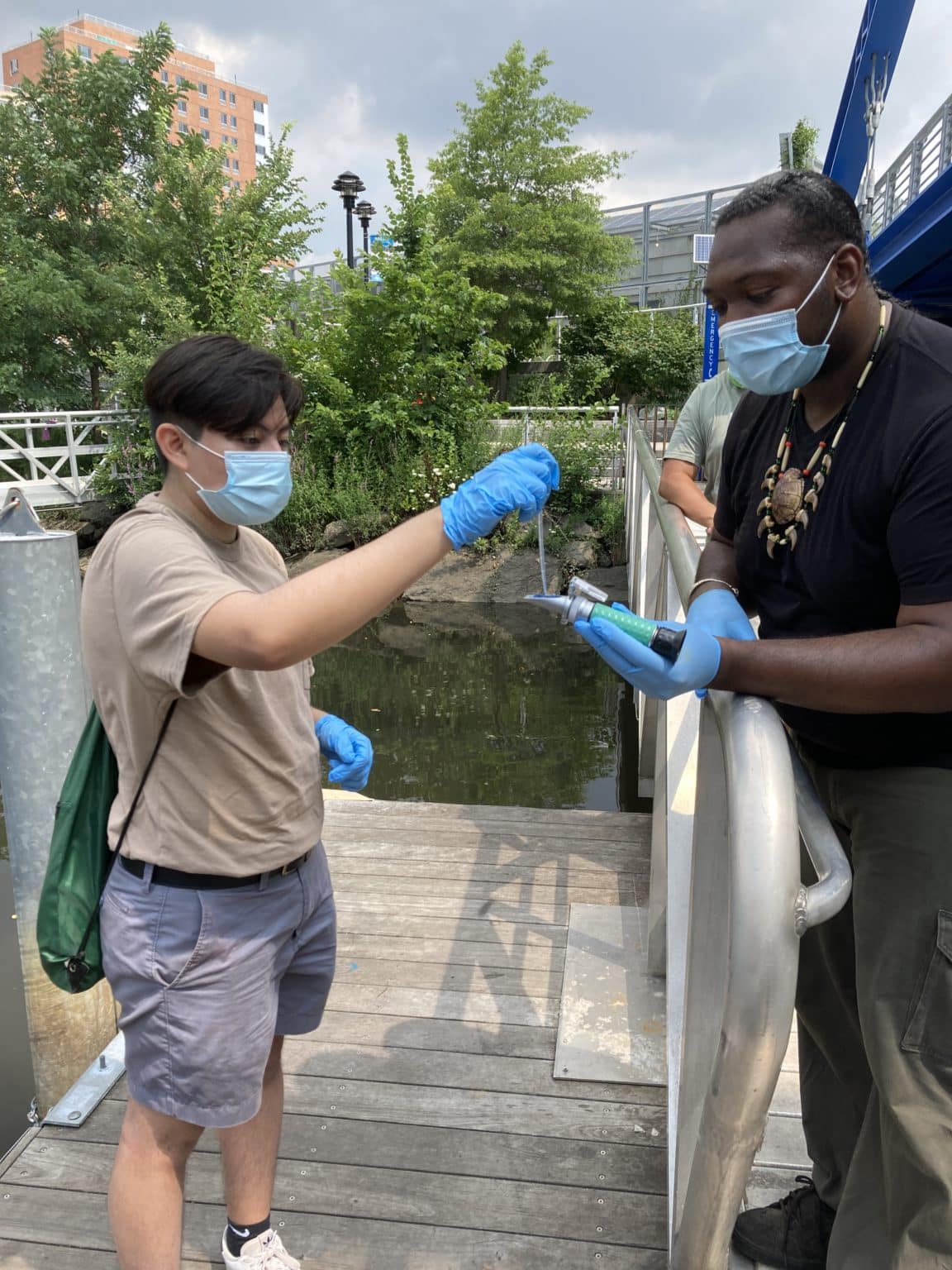
Welcome to the Bronx River EELS Dashboard! We are so glad to see you’re interested in this paid internship opportunity for high school students. The
loading...
Welcome to the Bronx River EELS Dashboard! We are so glad to see you’re interested in this paid internship opportunity for high school students. The
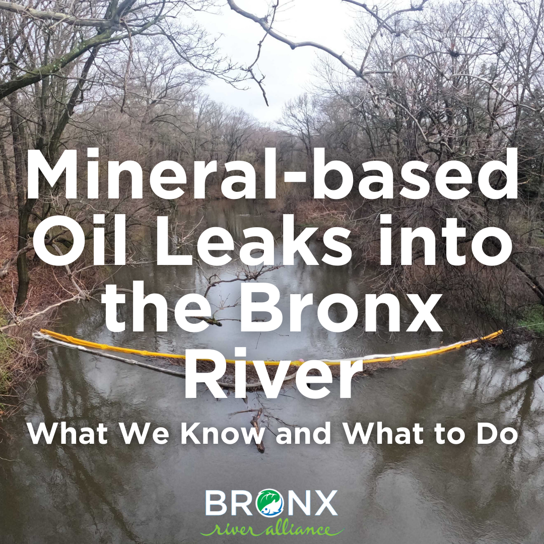
On Monday, April 1, we were informed that there was a leak of 1,000 gallons of dielectric fluid into the Bronx River from a Con
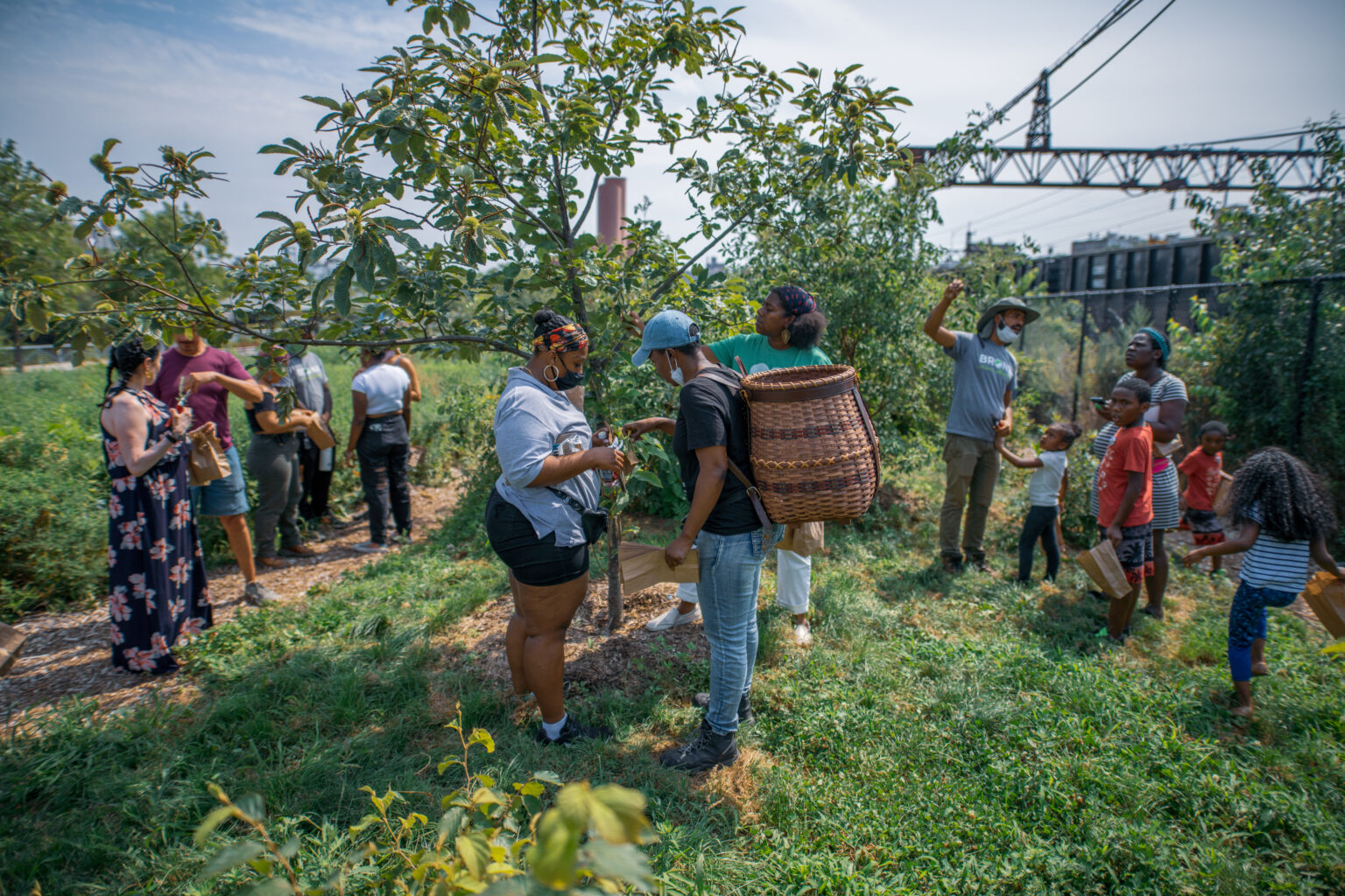
Join us for a conversation with some of the founders of the Bronx River Foodway, NYC Park’s first edible food forest inside a city park.
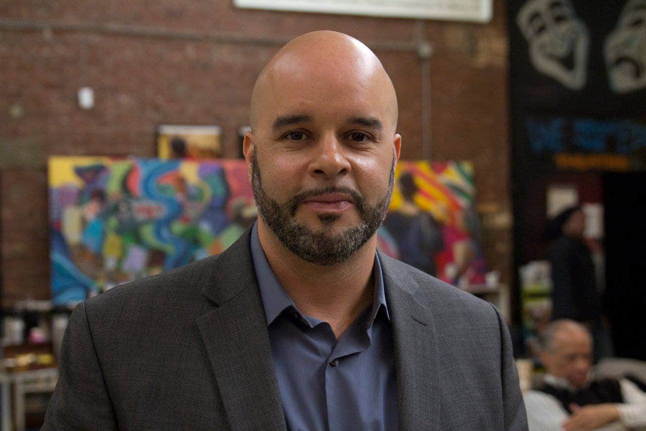
Dear River Enthusiasts, The Board of Directors is pleased to announce the appointment of Siddhartha Sánchez as the new Executive Director of the Bronx River
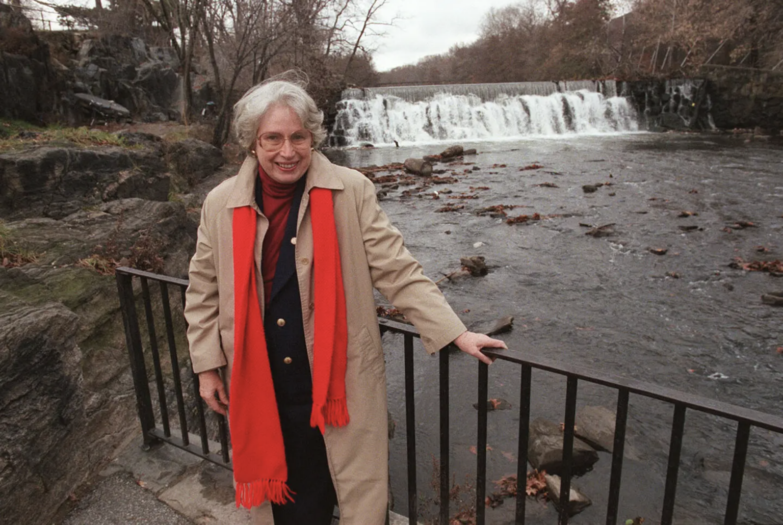
Nancy Wallace died on February 15 at her home in Massachusetts. She was 93. In important ways the Bronx River Alliance stands on Mrs. Wallace’s
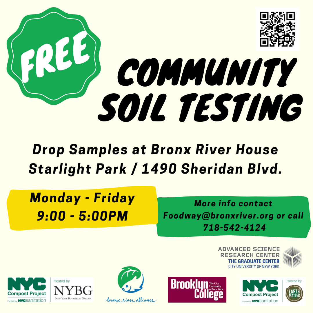
The Bronx River Alliance in partnership with CUNY Graduate Center ASRF, DSNY Compost Project Hosted by Earth Matter, and Brooklyn College are excited to offer
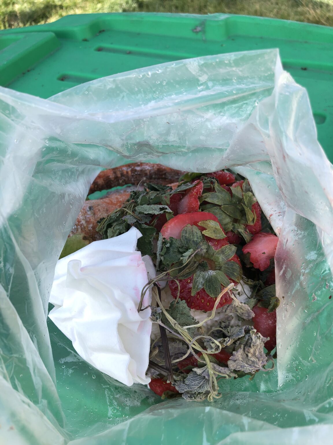
Bronx River Alliance is thrilled to announce the return of public Food Scrap Drop Off at Bronx River House week days from 9-5pm. Thanks to
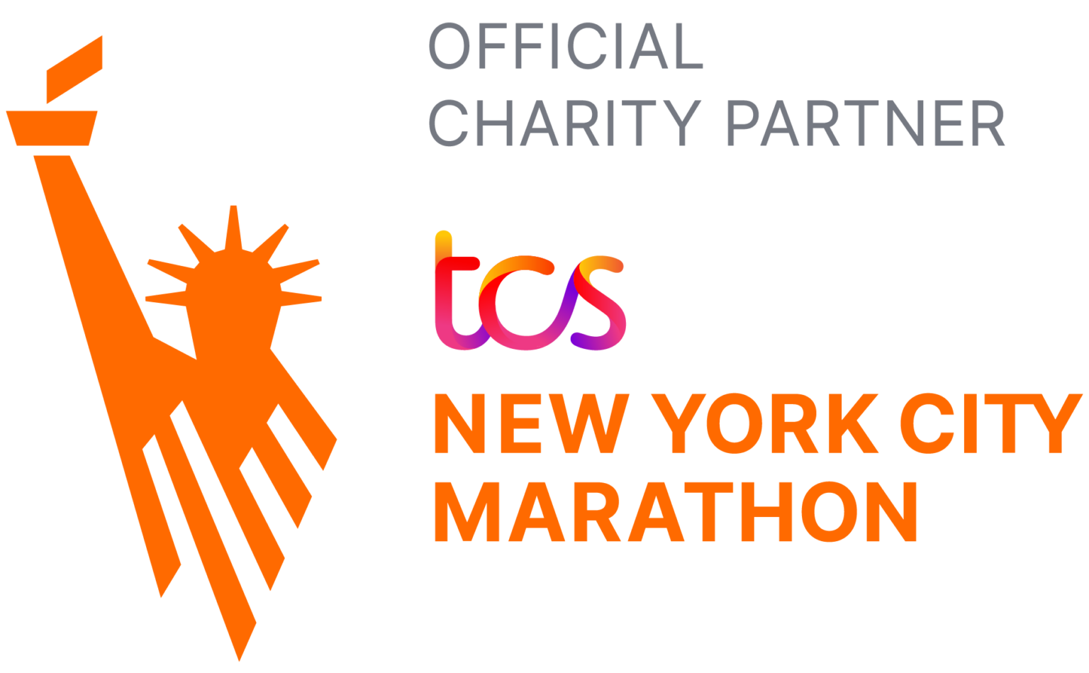
The Bronx River Alliance is proud to be an Official Charity Partner of the 2024 TCS New York City Marathon. The largest marathon in the
The Bronx River Alliance serves as a coordinated voice for the river and works with 100+ partners—particularly NYC Department of Parks and Recreation—to ensure that
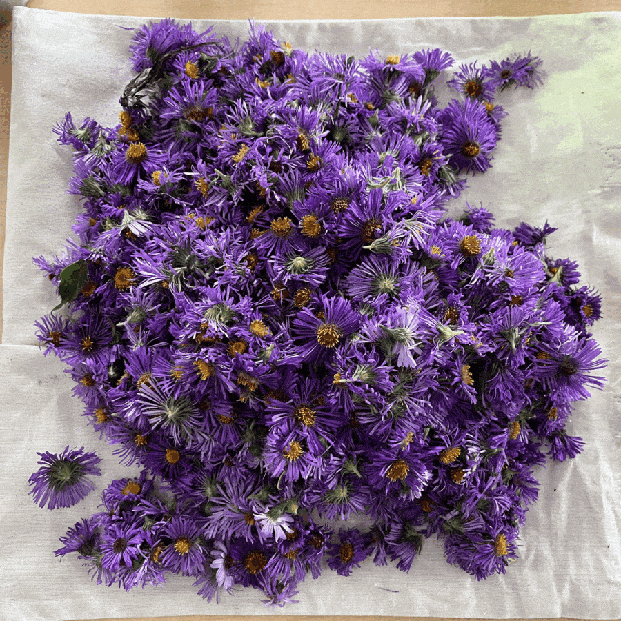
Join us at Bronx River House for a captivating three-part series workshop, where we delve into the art of herbal infusions. Led by seasoned herbalists,